In 1997-98, IPF Founder and President Alain Hubert and fellow Belgian polar explorer Dixie Dansercoer crossed Antarctica in 99 days unsupported.
IPF Facilities
In 1997-98, IPF Founder and President Alain Hubert and fellow Belgian polar explorer Dixie Dansercoer crossed Antarctica in 99 days unsupported.
Arctic Futures Symposium 2025 will take place at EFTA House in Brussels, Belgium on December 2nd and 3rd, 2025.
Arctic Futures Symposium 2025 will take place at EFTA House in Brussels, Belgium on December 2nd and 3rd, 2025.
RINGS - Ice Sheet Margin
Introduction and Background
IPCC’s recent Special Report on Ocean and Cryosphere in a Changing Climate (SROCC) addresses rapidly increasing sea-level contribution from the Antarctic Ice Sheet. The lack of ice thickness data at the margin of the ice sheet (grounding zone) is pointed out as one of the main sources of uncertainty for accurate estimation of Antarctic ice discharge. It is also the location where the bed topography matters the most as it controls the stability of the grounding zone. There is therefore an urgent need to carry out airborne surveys around the entire Antarctic Ice Sheet margin.
The ice discharge of the Antarctic Ice Sheet to the ocean can be calculated by a combination of ice thickness data and satellite-measured ice flow speed near the margin. While satellites such as Sentinel-1 and Landsat-8 can routinely measure ice-flow speed, limited knowledge of ice thickness leads to large uncertainties in ice discharge and eventually in overall assessments of Antarctic mass balance, estimated as the difference between ice discharge and mass input (snowfall) to the entire ice sheet. Mass balance estimated in this way currently has large discrepancies from other estimates based on gravity changes detected by GRACE/GRACE-FO satellites or ice-elevation changes detected by the CryoSat-2 and ICESat-2 satellites.
Ice thickness changes with time. However, once bed topography is measured using ice-penetrating radar with high precision and positioning control, ice thickness in the future can be monitored using ice sheet surface elevations measured with satellite altimetry missions such as CryoSat-2 and ICESat-2. According to existing BEDMAP and BedMachine compilations, ice thickness for more than half of the Antarctic margin remains inadequately known for estimating ice discharge. Also, availability of bed topography data is not uniform around Antarctica. Even for glaciers that are well studied, data are not always available continuously along the margin. This is because radar data are often collected along the ice flowline, rather than across the glacier. Compiling individual datasets collected for different purposes with different standards is a pragmatic, but not an ideal solution. Systematic collection of new radar data in the vicinity of the margin specifically aiming for ice-discharge estimates is a crucial step to monitor the current status, and predict the future, of the Antarctic Ice Sheet.
Aims, Goals and Objectives
To fill this major knowledge gap across all the margins of Antarctica for the first time, the Action Group will be an ambitious and challenging initiative in a truly international cooperation. The primary goal is to provide more accurate and complete reference bed topography data for robust assessments of ice discharge from all around Antarctica. This dataset will also tremendously improve the accuracy of ice-sheet models by providing a better mapping of the grounding zone. When this dataset is combined with satellite altimetry data over the entire ice sheet, it can also be used to constrain mass input from snowfall to Antarctica, which is currently estimated with regional climate models but hardly validated over a large region. The secondary goals are (1) to better constrain the likelihood and rates of predicted future retreat of the ice-sheet margin by determining basal boundary conditions in adjacent inland areas, (2) to better quantify ice-ocean interactions by providing novel knowledge of the bathymetry of the cavity beneath adjacent ice shelves, and (3) to perceive subglacial hydrology for constraining basal mass balance of the ice sheet and subglacial geology particularly relevant to sediments and heat flow. To reach these objectives, it is necessary to complete not only the primary ring at the margin, but also a seaward ice-shelf ring and a landward ring, using radar, gravity, magnetics and lidar instruments altogether.
The RINGS Action Group will (1) clarify the current knowledge gaps at the ice-sheet margin and assess the impacts of new data filling these knowledge gaps, and (2) develop a set of protocols to systematically collect, analyze, and share comprehensive airborne geophysical data. The group will work for two years closely with relevant groups to generate novel synergies addressing highly societally-relevant sea-level questions.
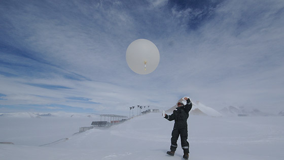
The atmospheric circulation, water cycle, and cloud-aerosol-interactions are key elements of the Antarctic climate system. Clouds and aerosols play a significant role in the radiative energy budget and aerosols impact cloud microphysics because they are cloud condensation (CCN) and ice nuclei. Volatile organic compounds (VOCs) and their atmospheric degradation products might play a role in the formation of CCN. In addition, clouds are an important part of the hydrological cycle serving as the agent linking water vapour transport into Antarctica with precipitation.
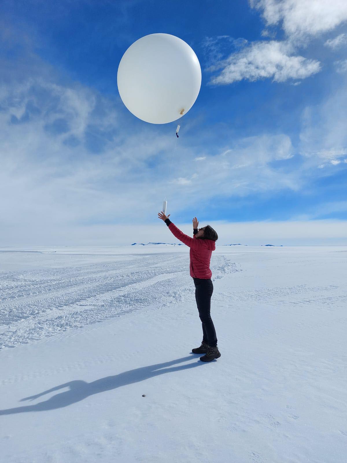
To investigate these complex processes, different instrumentation and modelling tools will be combined within PASPARTOUT. By analysing ERA-5 data (European Centre for Medium-range Weather Forecasts Reanalysis 5th generation), the project will investigate the atmospheric circulation patterns and weather regimes over the last 15 years. Further, the atmospheric transport pathways and potential source regions of atmospheric compounds will be determined and pathways and weather types will be connected to measured properties of particles, VOCs, moisture, precipitation and clouds.
In addition to atmospheric composition measurements at Princess Elisabeth station, automated samplers for a year-round, temporally resolved sampling of VOCs, and of inorganic compounds (isotopes; metals and rare earth elements) will be set up near the coast in Dronning Maud Land, East Antarctica. This will be complemented with snow profile measurements, in order to collect samples of the different layers of annual snow accumulation for chemical analyses.
Finally, based on the Coupled Model Inter-comparison Project 6 (CMIP6) archive of climate model data, it will be investigated how atmospheric circulation might change towards the future. PASPARTOUT will relate that to how potential source regions will change in a changing climate and will determine the implications on clouds and precipitation as a result of changes in atmospheric composition.
Measuring seismic activity in Antarctica - capable of measuring ice and earthquakes hundreds of kilometers away.
The overall objective of the GIANT-LISSA project is to better understand the long-term behaviour of the Antarctic continent in terms of climate change. We’re trying to determine to what extent the bedrock of the continent of Antarctica is rebounding due to the possible loss of the overlying ice sheet as a consequence of present global warming, or wether the rebound is a continued effect of former ice loss from the last ice age.
We’re investigating the different properties of the continent lithosphere and its dynamics by combining measurements from gravimeters, GPS stations and seismometers. The Earth lithosphere is composed of the crust and upper-mantle layers, is about 200 km thick and represents the most external and rigid layer of our planet.
This study aims to conduct long-term observations of Earth's geomagnetic field at the Princess Elisabeth Antarctic research station.
In order to describe and understand current and future evolution of the planet’s geomagnetic field, it is important to observe how the field moves and changes over time. Geomagnetic field observations are particularly important to make in the Polar Regions, where good geomagnetic observatories are few and unevenly spaced. Geomagnetic field observations at higher latitudes are crucial for Solid Earth modeling and to study space weather. Having accurate geomagnetic field observations can also come in handy when navigating the vast, remote areas of Antarctica in the event your GPS fails.
Utilize geodetic techniques (gravity and GNSS observations) to provide information on the ice mass balance of the Antarctic Ice sheet.
NISAR is part of a University of California Irvine research project.
Primarily using data from the upcoming NISAR satellite mission, a collaboration between NASA’s Jet Propulsion Laboratory and the Indian Space Research Organization, the UCI glaciologists will also incorporate observations from the European Space Agency’s Copernicus Sentinel-1 satellites, the U.S./Finnish ICEYE constellation, the Canadian RCM constellation and Japan’s Advanced Land Observing Satellite mission.
Finding the world’s oldest ice record around the Princess Elisabeth Station
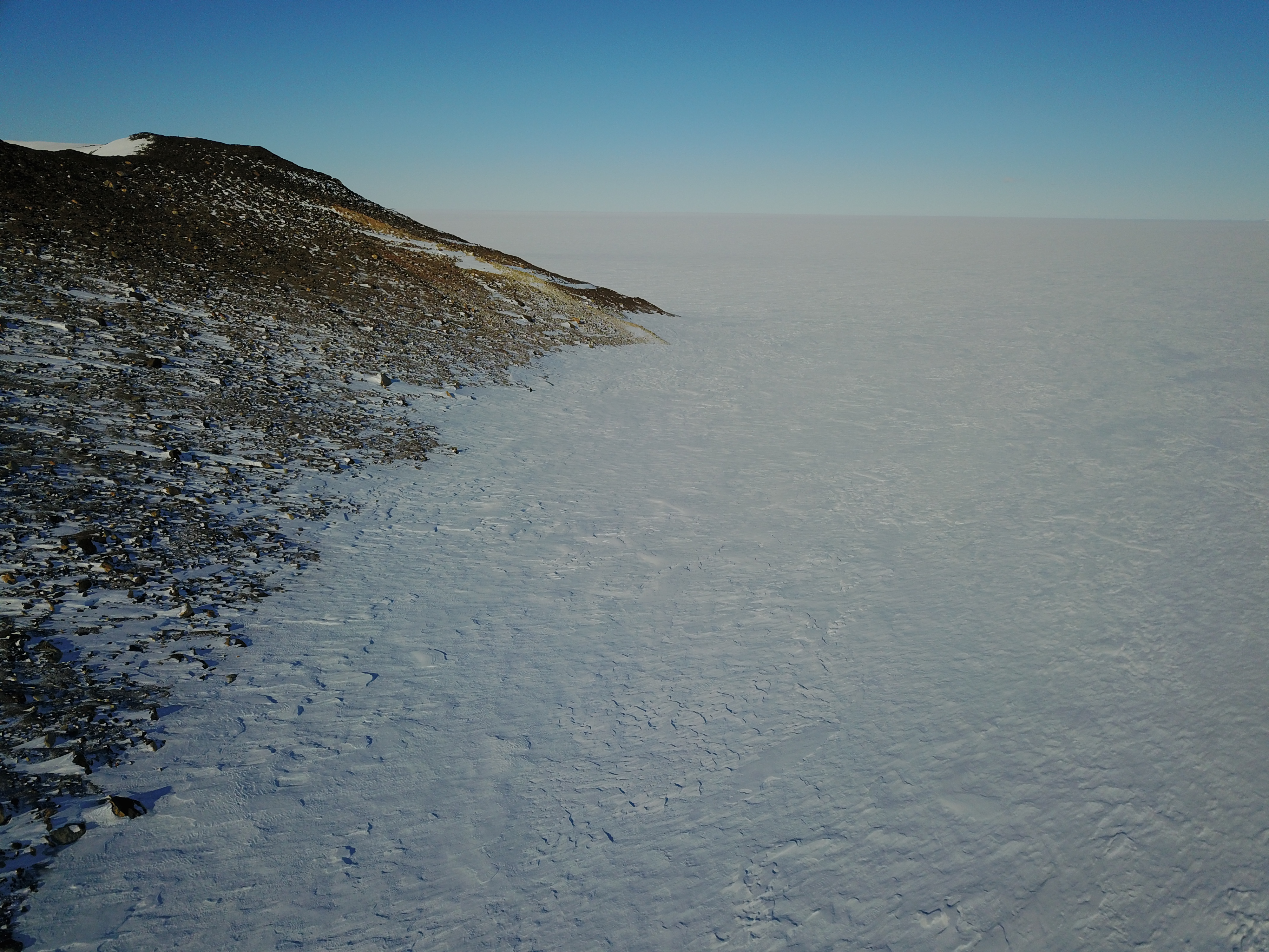
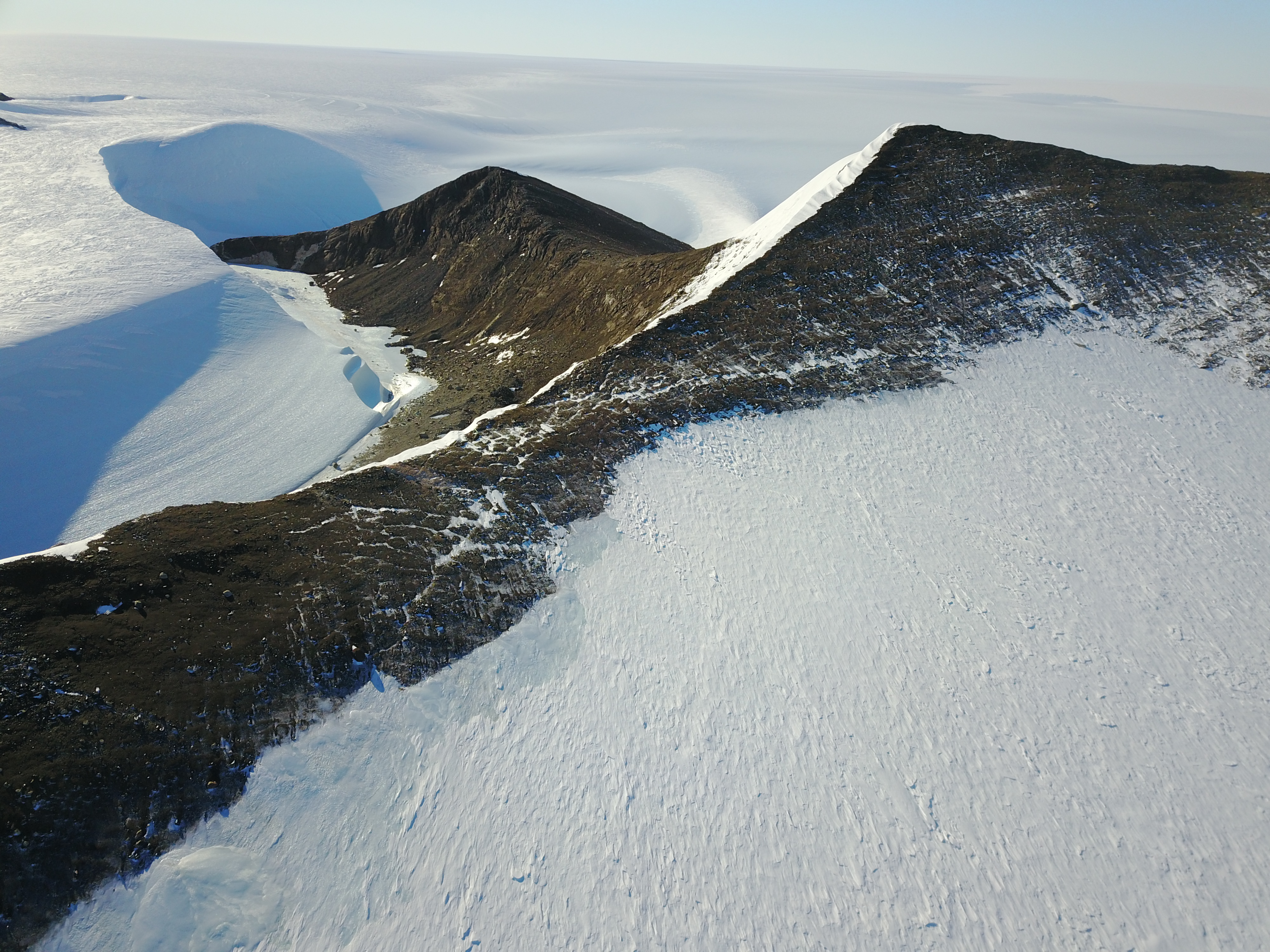
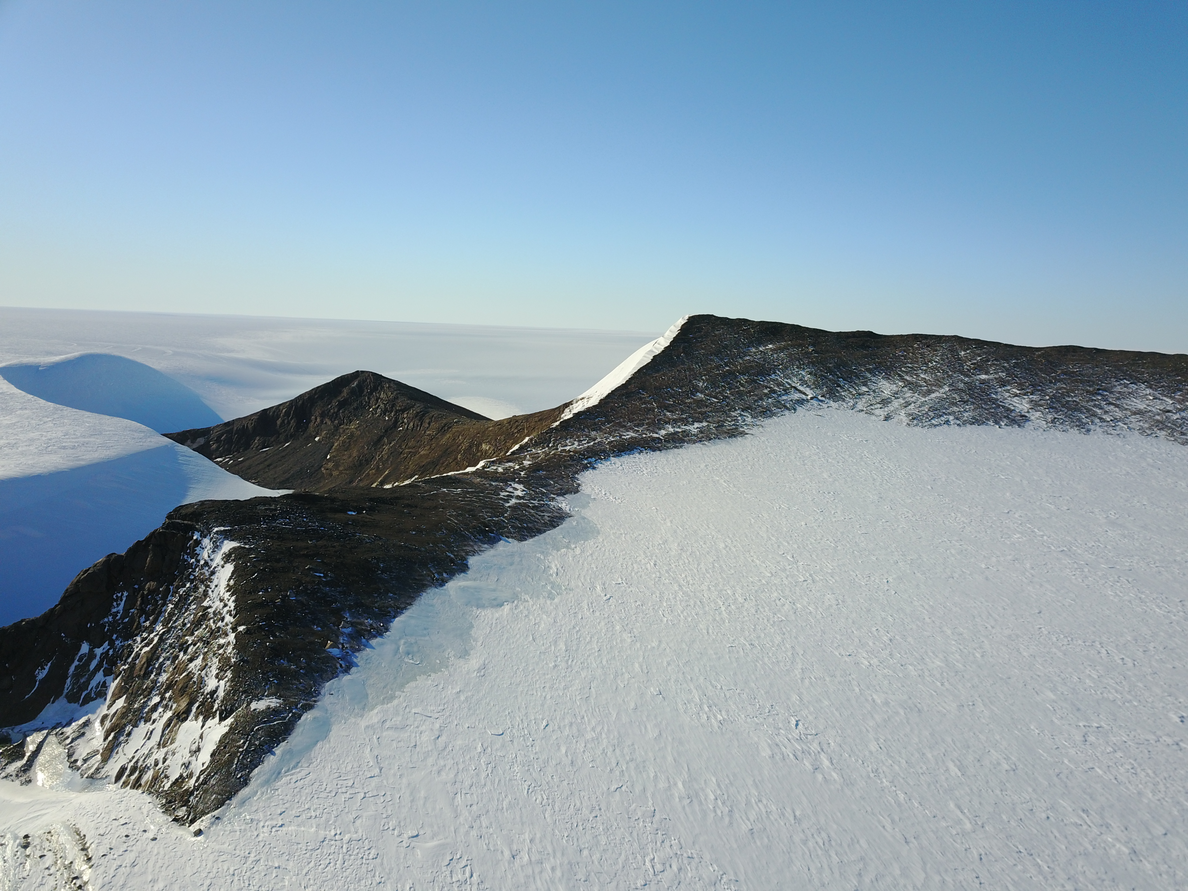
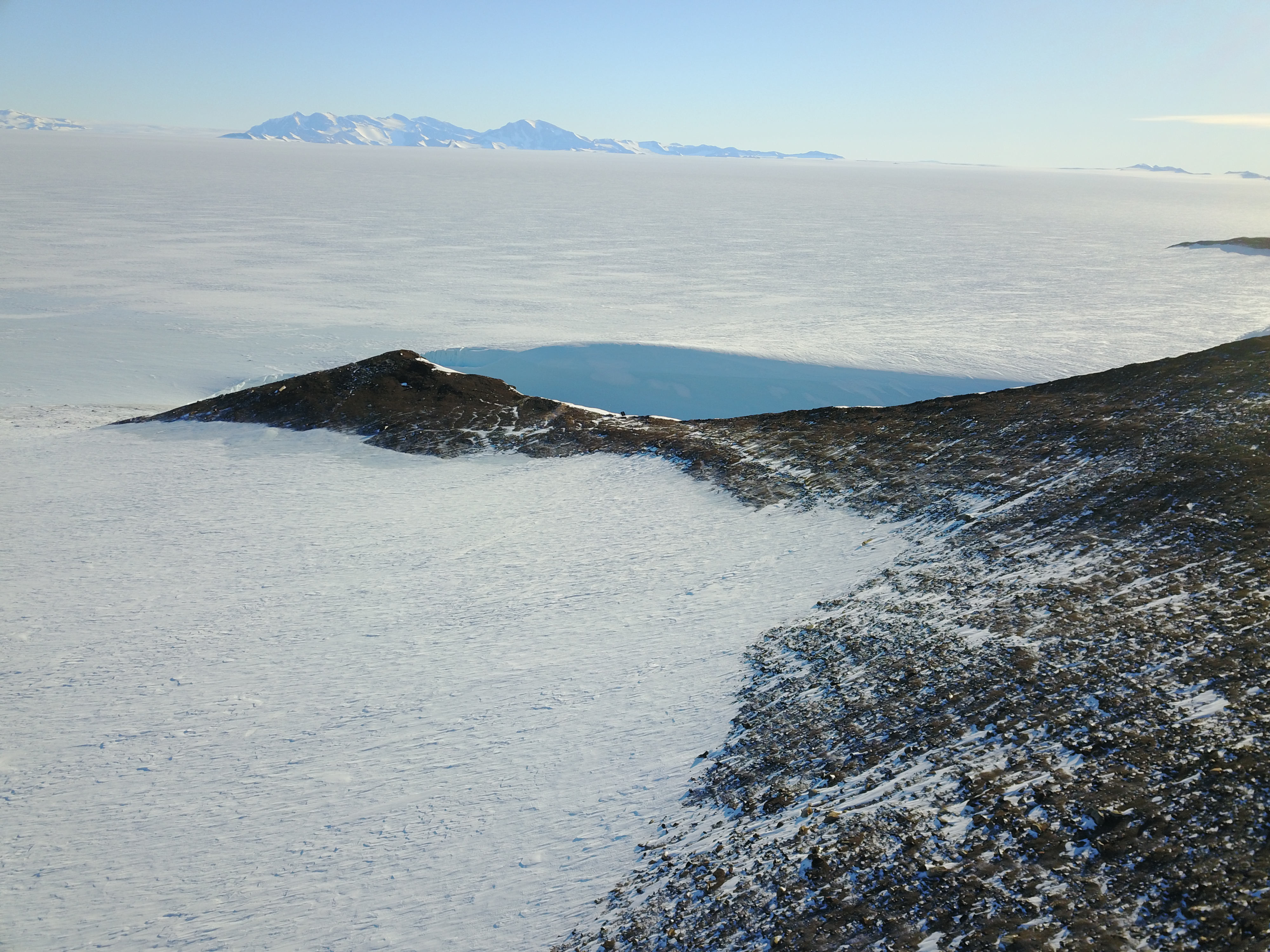
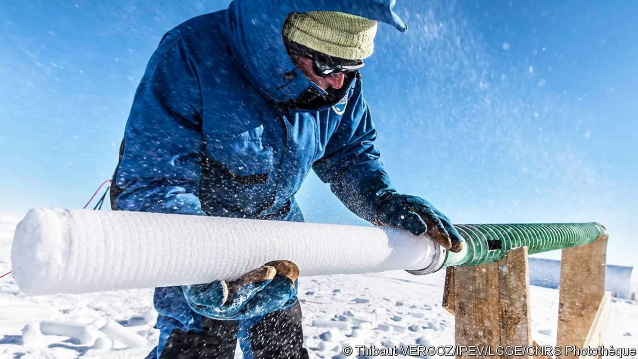
One of the most intriguing mysteries in our understanding of the Quaternary (i.e., last 2.7 million years) relates to the Mid-Pleistocene transition (MPT), around 1,200,000 to 800,000 years, during which glacial cycles become longer and stronger. To date, the forcing and responses of the climate system components that led to this enigmatic transition remain largely unknown. Greenhouse gases that directly affect the Earth’s radiative balance are believed to have played an important role during the MPT but indirect indicators of their evolution remain ambigous and uncertain. The analysis of air trapped in ice cores provides direct access to past changes in greenhouse gas concentrations, but the oldest continuous records only spans over the last 800,000 years. To obtain older ice, several international teams are currently preparing and undertaking deep-drilling efforts (i.e., several kilometers) on the Antarctic ice sheet. An alternative and somewhat 'out of the box' approach is to collect old ice at and near the surface in blue ice areas (BIAs). These BIAs form where the bedrock geometry redirects (old) englacial ice towards the ice sheet's surface, with katabatic winds removing snow and younger ice. Therefore, in BIAs, old ice can directly be sampled from the surface or by coring at a relatively shallow depth, allowing to collect large quantities of ice. In this project, we will make use of the exceptional setting of the Princess Elisabeth (PE) Station which is in direct vicinity of many BIAs. We will study the local ice stratigraphy by combining fieldwork, numerical modelling, and laboratory analysis of collected samples (including absolute dating). This will eventually culminate in identifying a prime site for very old ice to be contained, where a drilling of up to a few hundred meters will be performed with the goal to collect some of the oldest ice on Earth.
Continuation of CRYOS - LOSUMEA
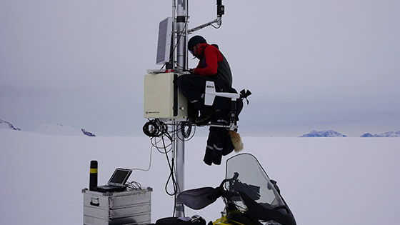
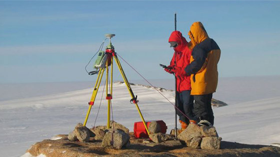
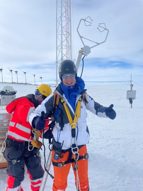
installation of meteorological instruments on the 30 meter tower at the Princess Elisabeth Station to measure blowing snow and heat fluxes at different levels above the ground.
Studying the relationship between glaciers and climate change.
The Antarctic component of the project, conducted in collaboration with BELARE aims at monitoring the surface mass balance (SMB) of Antarctica to gather a database of glacio-meteorological data and better understand how it relates to climate variability and change.
Climate change experiments in Arctic and Antarctic polar desert soils
The Arctic and parts of Antarctica are experiencing very rapid climate and environmental changes. Earth system models further predict increasing temperatures and changing precipitation patterns in the 21st century as a result of the polar amplification of global warming. It can be expected that these changes will affect the biodiversity and functioning of polar terrestrial ecosystems, yet the resilience of these habitats and their vulnerability to change is largely unknown due to the lack of long-term monitoring data and extensive field experiments. This knowledge gap resulted in the development of permanent monitoring stations and field experiments in the framework of international research projects and initiatives.
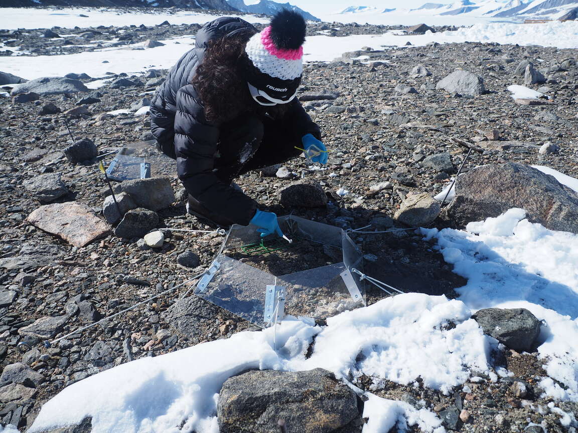
ExPoSoils is aimed at studying the effects of increased temperature and snow cover on the biodiversity and genetic functional potential of microbial communities in polar desert and tundra soils in the Arctic and Antarctica, and consolidating the long-term monitoring of ecosystem responses to climate change in these regions. Snow fences to increase snow cover and open-top chambers to increase soil temperature were installed 5 years ago in Svalbard (High Arctic) and the Sør Rondane Mountains (East Antarctica) and baseline samples were taken. Specifically, the objectives of ExPoSoils are to (i) develop an integrated database with high-throughput DNA sequencing data of microbial communities in polar desert and tundra soils differing in moisture content and other environmental properties from both the Arctic and Antarctica, (ii) predict the trajectories of these communities in response to future changes in temperature and moisture availability by comparing data from snow fences, open top chambers and measurements of key ecosystem functions (carbon and nitrogen cycling) between the start of these experiments and the present-day, (iii) use a combination of remote sensing and close-range field observation techniques and high-throughput DNA sequencing to detect potential changes in the presence/extent of microbial mat and biological crust communities, and study the diversity and functional potential in natural communities since the start of the monitoring, (iv) isolate, characterize and preserve ‘ex situ’ novel polar microbial diversity that may be threatened by rising temperatures, and (v) establish a long-term monitoring site in Antarctica and put a monitoring scheme in place to identify potential future biological and environmental changes in sites recently proposed to be included in the Antarctic Specially Protected Area (ASPA) 179 in the Sør Rondane Mountains.
Automatic Whistler waves Detector and Analyzer.
VLF magnetic antenna system to detect whistler waves.
Pathways of particles, volatile organinc compounds and moisture in East-Antarctica in a changing climate.
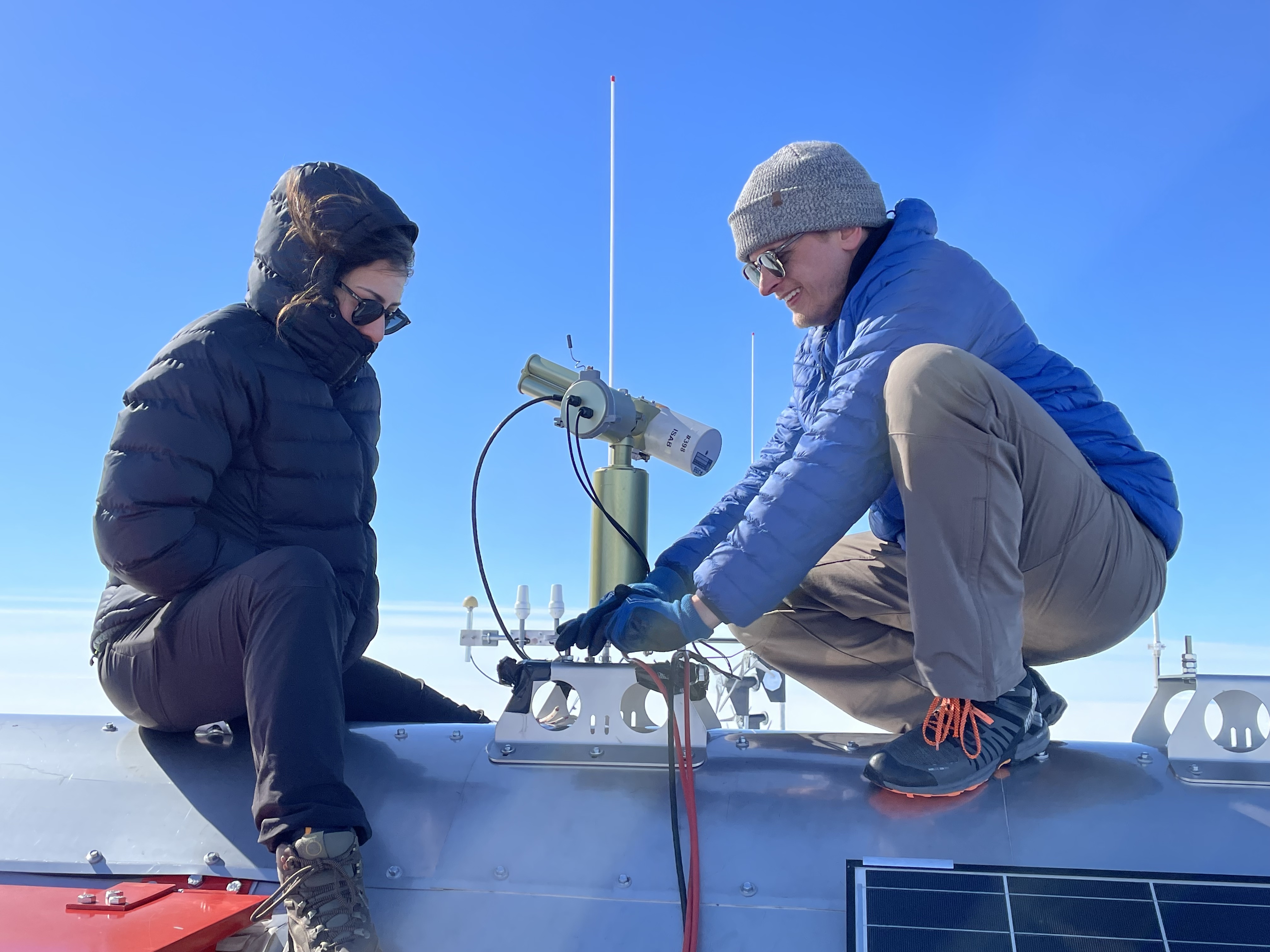
The CIMEL instrument is a sun photometer or passive radiometer that measures direct sun and diffuse sky radiances at 8 wavelengths. Total column Aerosol Optical Depth (AOD) and the integrated precipitable water vapor (mm) are measured. Aerosol fine mode fraction, Angstrom exponent (measure of how the AOD changes relative to the various wavelength of light) and single scattering albedo can also be derived.
How do aerosol-cloud Interactions influence the surface Mass Balance in East Antarctica?
ACME is part of the Princess Elisabeth Antarctica Climate Experiment (PEACE)
The water cycle, cloud microphysics and cloud-aerosol-interactions are recognized as key elements of the Antarctic climate system by several international consortia, such as the International Panel on Climate Change (IPCC). Clouds and aerosols play a significant role in the radiative energy budget and aerosols impact cloud microphysics because they are cloud condensation and ice nuclei. In addition, clouds are an important part of the hydrological cycle serving as the agent linking water vapour transport into Antarctica with precipitation. Because precipitation is the only source term in the surface mass balance (SMB) of the Antarctic ice sheet, it is one of the key factors affecting sea level. However, current knowledge on the interaction between clouds, precipitation and aerosol in the Antarctic is still limited, both from direct observations and from regional climate models. CLIMB relied on an interdisciplinary research team, bringing together scientists with complementary expertise in long-term experimental work related to atmospheric chemistry and physics, expertise in Antarctic research campaigns, regional climate modelling, radiative transfer processes, and expertise in state-of-the-art chemical analyses. CLIMB performed measurements of meteorological, aerosol, cloud and precipitation characteristics, both in the vicinity of Princess Elisabeth Antarctica station (PEA), and at an altitude which was high enough and exposed to easterly winds to be often within cloud level. In addition to extended ice nuclei particle (INP) filter sampling at PEA, there were (i) a vertically resolved profile of temperature, relative humidity and pressure for three heights: at PEA (1390 m asl), on the Utsteinen nunatak summit (around 1600 m asl) and in the Vikinghogda mountains(2350 m asl); (ii) measurements of precipitation type and intensity by a disdrometer; (iii) measurements of aerosol particle size in the Vikinghogda mountains; and (iv) an automated sampling system for Volatile Organic Compounds (VOC), also in the remote Vikinghogda mountains. The results were used to improving the aerosol-cloud-precipitation parameterisation in a regional climate model for East Antarctica
UnLocking The scIentific potential of the Belgica Mountains, East Antarctica
The Antarctic environment represents one of the last frontiers in scientific exploration. For more than 10 years, the VUB-ULB-RBINS-NIPR consortium has focused on constraining the origin and evolution of both rocks (terrestrial and extraterrestrial [ET]) and ice in proximity of the Belgian Princess Elisabeth station (PEA) in the Sør Rondane Mountains (SRM) by applying a highly interdisciplinary approach. This methodology has led to the recovery of more than 1,300 meteorites from blue ice fields, the retrieval of ~50,000 microscopic ET particles from high-altitude sedimentary deposits (including micrometeorites, airburst debris and impact ejecta), as well as determining the geological and exposure histories of rock outcrops, moraines, and ice in this area.
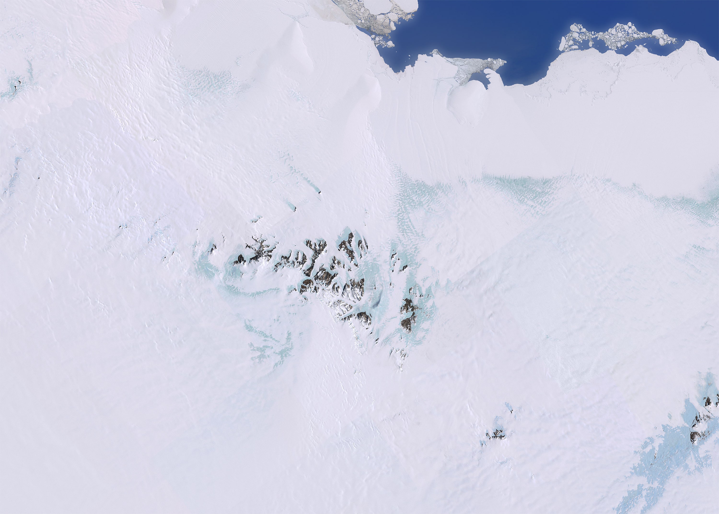
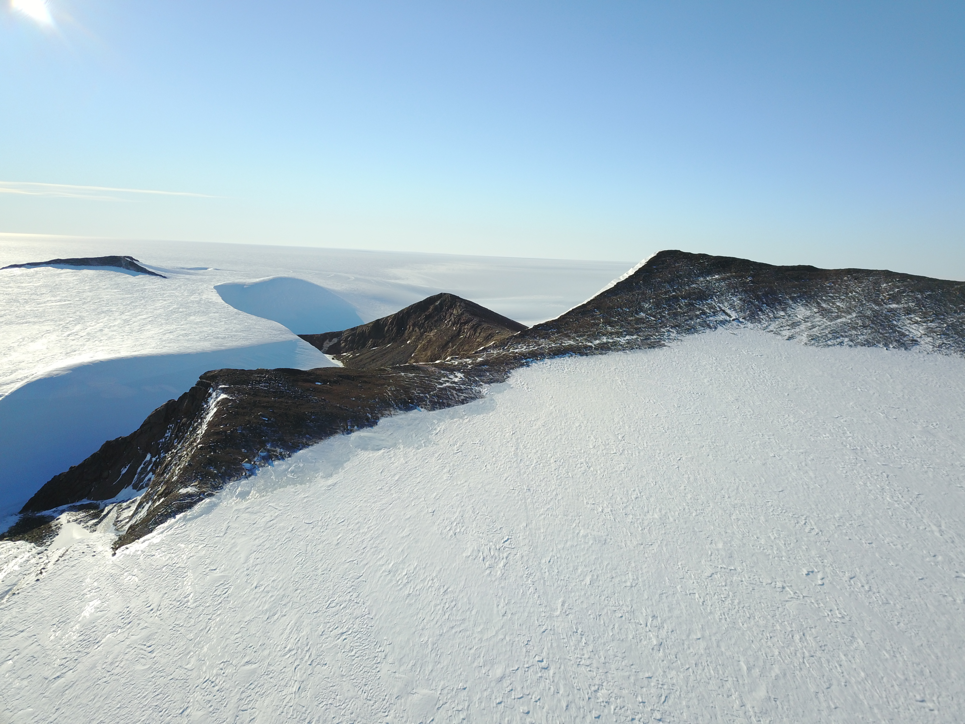
Together, the rock and ice samples have unlocked an astonishing treasure of information on the origin of the Solar System, the formation of planets, past climatological conditions, as well as the formation and exposure of regional geological and glaciological features (e.g., [1-5]). The time has now come to expand the activities of our consortium to the Belgica Mountains, of which the scientific potential remains largely untapped to date. This isolated mountain chain about 16 km long is located ~100 km east-southeast of the SRM. It was named by the Belgian Antarctic Expedition in 1957-1958 under G. de Gerlache, and only the northern range of this mountain chain was revisited once during a Japanese Antarctic Research Expedition (JARE) in 1998, with an excellent success rate for finding meteorites in a short amount of time (37 meteorites recovered over a 3-day time period).
The aims of the ULTIMO project are to (1) validate the predictive power of existing machine learning approaches to trace meteorite accumulation in the Antarctic environment [5] and subsequently collect and characterize meteorites in that blue ice field area, (2) substantially expand the current inventory of ET particles and cosmic events by sampling deposits in the previously unexplored territory of the Belgica Mountains and compare the physicochemical properties of the sampled deposits and extracted particles to those of existing collections to learn about the early evolution of the Solar System, (3) determine the potential of the blue ice fields surrounding the Belgica Mountains to host ancient ice by mapping spatiotemporal variations using stable isotope variations (δ18O en δD), directly measuring the age of the surface ice, and modelling the local ice flow, and (4) study the geological and exposure history of the Belgica Mountains bedrock and associated moraines.
The study of unique cosmic material allows to define source regions in the Solar System from where the material that arrives on Earth today derives and to detect possible changes in the intensity and nature of the ET flux over the last few million years (Myr). As such, this ET material complements costly sample-return missions to primitive asteroids and comets and allows to explore the very first stages in the evolution of the protoplanetary disk using material accessible here on Earth. Notably, meteorites and micrometeorites (and other microscopic traces of ET events) can highlight different processes and reservoirs, as – due to their sizes – the latter undergo different preservation biases. Similarly, the exposure histories of ice and bedrock can be used in conjunction to refine existing tectonic, geomorphological, glacioeustatic, and paleoenvironmental reconstructions and models, which are critical in Antarctica as the geological bedrock is covered by ice. The targeted collections and resulting scientific insights further enhance the position of this Belgium-led international consortium at the vanguard of the geological, planetary, and paleoclimatic sciences.
Study of auroral sub(storms) including onset mechanisms, spatial and temporal variation, wave-particle interaction process during substorm + during full on auroral storm).
Study of auroral (sub)storms (onset mechanisms, spatial & temporal variation, wave-particle interaction process during substorm + during full on auroral storm).
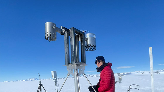
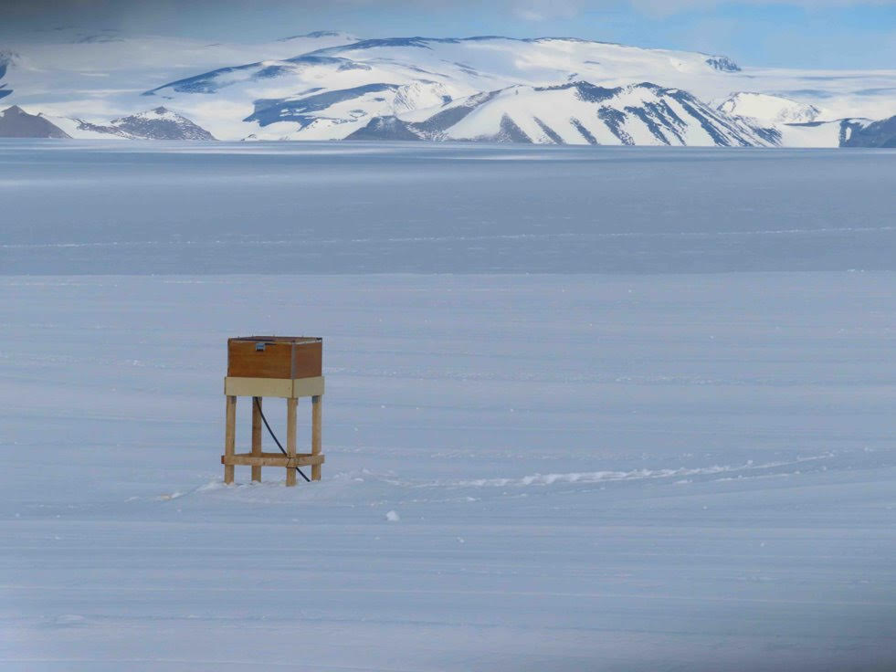
The Princess Elisabeth Antarctica Climate Experiment (PEACE) consists of 6 Automatic Weather Stations (AWS) that are continuously measuring a number of meteorological parameters (temperature, humidity, pressure, wind speed and direction, incoming and reflected solar radiation, as well as snow height) each station has 2 of each instrument (one at 1m above the ground and the second at 2m) this is to create a type of profile of the various parameters.
The first 2 stations that make up the PEACE network were first installed by Dr. Konrad Steffen in 2012. An additional station was added to the network in 2013 at the BLUE ice region (Perseus International Airport). 2 more stations were added in 2021, close to the coast and on the Antarctic plateau. This year (2024) a 6th station was added to the network on the King Baudouin Ice shelf close to the grounding line of the ice sheet.
